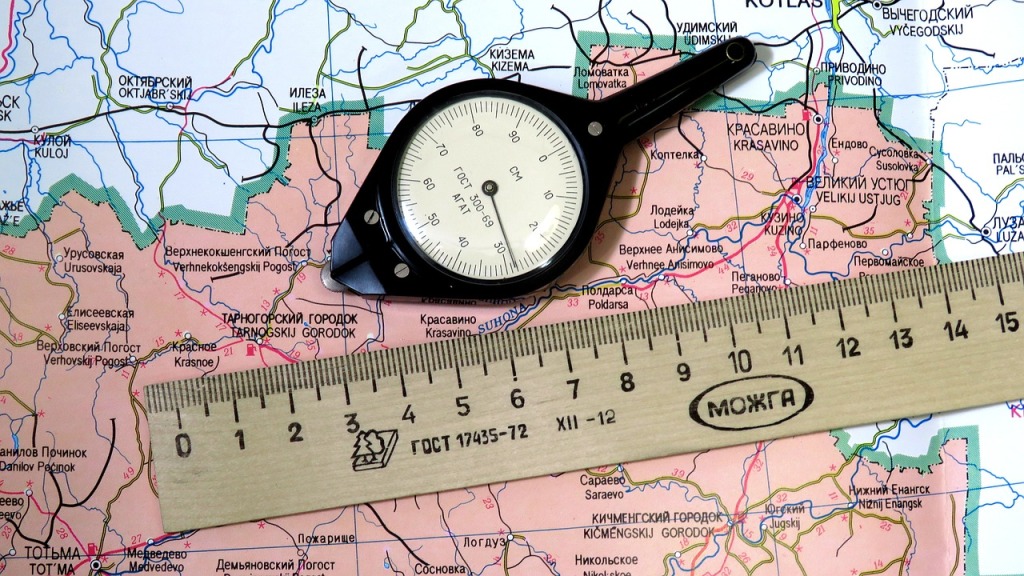
Maps are an essential tool in geography, allowing us to visualize the world around us. Map scales are an important part of this process, as they allow us to measure distances and areas accurately. In this article, we will discuss what map scales are, the different types of map scales, their advantages and disadvantages, and how to use them.
What is Scale in Geography?
Map scale is a measure of the relationship between distances on a map and the corresponding distances in the real world. It is usually expressed as a ratio, such as 1:50,000, which means that one unit on the map is equal to 50,000 units in the real world. This ratio can also be expressed as a fraction, such as 1/50,000, or as a verbal scale, such as “1 inch equals 50,000 inches.” WATCH VIDEO LECTURE ON MAP SCALE or ITS TYPES.
Types of Map Scales
There are three main types of map scales: verbal scale, ratio fraction scale, and graphical scale.
Verbal Scale:
This type of scale uses words to express the relationship between distances on a map and the corresponding distances in the real world. For example, “1 inch equals 50,000 inches” is a verbal scale.
Ratio Fraction Scale:
This type of scale uses a ratio to express the relationship between distances on a map and the corresponding distances in the real world. For example, 1:50,000 is a ratio fraction scale.
Graphical Scale:

This type of scale uses a bar or line to express the relationship between distances on a map and the corresponding distances in the real world. For example, a bar or line on a map that is 1 inch long may represent 50,000 inches in the real world.
Small Scale and Large Scale
Map scales can also be divided into small scale and large scale. Small scale maps have a ratio of 1:1,000,000 or higher,
while large scale maps have a ratio of 1:50,000 or lower. Small scale maps are used to show a large area, such as a country or continent, while large scale maps are used to show a small area, such as a city or town.

Advantages of Using Map Scales
Map scales are useful for measuring distances and areas accurately. They can also be used to compare distances and areas between different maps.
Disadvantages of Using Map Scales
The main disadvantage of using map scales is that they can be difficult to interpret. It can be difficult to understand the relationship between distances on a map and the corresponding distances in the real world.
Conclusion
Map scales are an important tool in geography, allowing us to measure distances and areas accurately. There are three main types of map scales: verbal scale, ratio fraction scale, and graphical scale. Map scales can also be divided into small scale and large scale. Understanding and using map scales can be difficult, but with practice, it can become easier.